

Geospatial Analytics and Location Intelligence Corporate Training
Build geospatial analytics skills your team can use immediately
This instructor-led program helps your team turn location data into decisions with geocoding, spatial analysis, and dynamic dashboards, with guided hands-on labs in every module.
Instructor-led group trainingVirtual / on-site / off-site10 languagesDelivered inEnglish, Spanish, Mandarin, German, Arabic, Portuguese, Hindi, French, Japanese, Italian100+ countriesWe have delivered inUnited States, United Kingdom, India, Canada, Germany, France, Netherlands, UAE, Saudi Arabia, Singapore, Australia, Japan, Brazil, South Africa and 90+ more countries
How we build a location-intelligent team
The Edstellar GEOSPATIAL ANALYTICS & LOCATION INTELLIGENCE Capability Model
Diagnose
Map how location data flows through your reports today and where missing geography weakens decisions.
Standardize
Align on coordinate systems, geocoding rules, and spatial data standards across teams and sources.
Practice
Run spatial joins, scoring models, and dashboard builds in guided hands-on labs on real datasets.
Measure
Track map adoption, analysis accuracy, and decision outcomes with dashboards tied to business goals.
Scale
Roll out reusable geospatial templates and pipelines across markets with tested workflows.





Need more than one program?Get a group quote
Trusted as a Leading Corporate Training Provider by
















Program Overview: What is Geospatial Analytics and Location Intelligence?
Geospatial Analytics & Location Intelligence is an instructor-led program for teams turning location data into decisions. It starts with coordinate systems and spatial data foundations, then moves through geocoding, spatial joins, and map design to proximity, hotspot, and scoring analyses. Teams learn to build geospatial dashboards and automate location reporting.
Training runs across six modules over 24 hours with guided labs in every module. Participants geocode real address data, run spatial joins, design maps, build proximity and hotspot analyses, and create geospatial dashboards with location reporting. Instructors with analytics experience review each analysis and coach the interpretation. The program closes with the Capstone: Location Intelligence Deployment.
Location data sits in spreadsheets and GIS viewers while decisions get made without it. Teams cannot answer basic questions: where are our customers, where should we expand, where is the risk. This program turns location data into a working intelligence capability, so proximity, density, and movement become inputs to real decisions.
The capstone is a location intelligence deployment: the team takes a real business question, builds the full geospatial analysis with dashboards and automated reporting, and presents the findings to reviewers. They leave with a deployed intelligence product and the workflow to keep it current.
Edstellar delivers this program as instructor-led training in hybrid, onsite, or live virtual formats, shaped around your team's stack and use cases. Content adapts to your spatial data and BI tools, so every lab mirrors the location analysis your analysts and engineers actually own. Your team learns to choose projections, validate location feeds, design scoring models, and publish dashboards that update as data changes. By the end, participants can ship location intelligence that guides expansion, coverage, and operations decisions.
What's Included in this Workshop for Your Enterprise Teams
- 1
Spatial data foundations
Coordinate systems, data models, and quality checks.
- 2
Geocoding and mapping
Address matching, spatial joins, and thematic maps.
- 3
Spatial analysis
Proximity, hotspots, territories, and scoring models.
- 4
Dashboards and automation
Dynamic maps, reporting, and pipeline automation.
- 5
Analytics and capstone
Location storytelling and a deployment-ready build.
- Instructor-led sessions with a geospatial analytics practitioner
- Hybrid, onsite, or live virtual delivery
- Guided hands-on labs in every module
- Lab environments and workbooks included
- Skills assessment and completion summary
- Post-training support for your team
Build your team's skills. Anywhere in the world.
Real-world use cases
from day one
Instructor-led training
for your teams
Delivered globally
in 100+ countries


Enterprise Training Solutions Customized for Your Company
One partner for instructor-led corporate training, delivered the way your teams work.
Request a Training Quote- Customized Training Delivery
- Scale Your Training: Small to Large Teams
- In-person Onsite, Live Virtual or Hybrid Training Modes
- Plan from 2000+ Industry-ready Training Programs
- Hands-On Labs on Live Infrastructure, Led by Industry Experts
Geospatial Analytics and Location Intelligence Course Topics and Program Outline
Six modules take your team from geospatial data foundations to a deployed location intelligence package.
Built by Edstellar with geospatial analytics expertise
Built by practitioners who build geospatial analytics solutions in production, shaped around your stack and use cases.
We review your team's location data, analytics maturity, and business goals to shape every lab.
Instructor-led sessions cover coordinate systems, geocoding, and spatial data models with live demos.
Guided hands-on labs on real datasets: spatial joins, scoring models, dashboards, and automation.
Your team ships a capstone location intelligence package that guides real expansion and planning decisions.
Your team leaves with a working location intelligence package and the skills to keep it current.
Delivered as
Delivered as instructor-led training in hybrid, onsite, or live virtual formats, scheduled around your team's working hours.

Align multi-source layers to one common projection and verify they overlay correctly.
learna)Coordinate reference systems and projections
b)Vector versus raster data models
c)Sourcing open geospatial datasets
d)Spatial data quality checks
Build a geocoded customer density map with styled thematic layers.
learna)Address geocoding and reverse geocoding
b)Spatial joins and overlays
c)Enriching records with location attributes
d)Thematic map and symbology basics
Rank candidate sites with a scoring model built on proximity and demographic overlays.
practicea)Proximity and drive-time analysis
b)Hotspot and cluster detection
c)Territory and trade-area design
d)Location scoring models
Publish a dynamic location intelligence dashboard with filters and scheduled refresh.
practicea)Dynamic map dashboards
b)Choropleth and heatmap design
c)Filter-driven location views
d)Dashboard refresh scheduling
e)Insight storytelling with maps
Automate a recurring spatial data pipeline with validation and scheduled delivery.
applya)Spatial data modeling for analytics
b)Automated geoprocessing workflows
c)Data quality validation rules
d)Location services and APIs
e)Integrating spatial data with BI tools
Deliver a complete location intelligence package for a real business scenario.
applya)Framing a location business problem
b)End-to-end location analysis
c)Stakeholder presentation of findings
d)Rollout and maintenance planning
Customize this program tailored to your team?
Tell us your training needs: what your team already works with, the level they’re at, and the topics you want them to focus on. We’ll adjust the modules, duration and hands-on labs, and send you a customized outline for your group.
Key Skills and Outcomes Your Team Will Gain
Practical geospatial skills your analysts and engineers apply to location data from day one.
Work with coordinate systems and spatial formats
Read, reproject, and align vector and raster layers without losing accuracy.
Geocode and enrich location records
Convert addresses to coordinates and join location attributes to your datasets.
Run spatial analysis workflows
Apply proximity, drive-time, hotspot, and scoring analyses to real business questions.
Build geospatial dashboards
Publish dynamic maps, choropleths, and heatmaps that stakeholders can explore.
Model and automate spatial data
Design spatial data models and automate geoprocessing pipelines for recurring work.
Tell stories with location insight
Turn maps and spatial metrics into clear recommendations stakeholders trust.
Ship location intelligence projects
Deliver end-to-end geospatial analysis, from data prep to rollout planning.
Teams that Benefit from this Geospatial Analytics and Location Intelligence Group Training
Built for analysts, engineers, and planners who work with location data. Content adapts to each role and experience level, so every cohort practices the workflows it owns.
Location insight your analysts can act on
Help analysts and BI teams add location context to reports, segment by geography, and build maps that drive decisions.
Workflow friction
- Flat, geography-blind dashboards
- Slow manual map building
- Inconsistent location data
How the program helps
- Richer location-aware reporting
- Faster territory and site analysis
- Trustworthy geospatial metrics
Practice use cases
- geocoding workflows
- spatial joins
- map dashboards
Spatial pipelines your teams can trust
Give pipeline owners the skills to model spatial data, automate geoprocessing, and validate location feeds reliably.
Workflow friction
- Mixed coordinate systems
- Fragile location feeds
- Manual spatial prep work
How the program helps
- Reliable spatial data pipelines
- Automated geoprocessing workflows
- Cleaner location datasets
Practice use cases
- spatial data modeling
- pipeline automation
- data validation
Location intelligence for market moves
Equip marketing and growth teams with drive-time analysis, trade-area design, and site scoring for expansion decisions.
Workflow friction
- Gut-feel site choices
- Unmeasured trade areas
- Scattered location data
How the program helps
- Sharper expansion decisions
- Data-backed site selection
- Clearer market coverage
Practice use cases
- site scoring
- trade-area design
- market mapping
Geospatial answers for operations
Teach operations and planning teams to use proximity analysis and hotspot detection for routing, coverage, and risk decisions.
Workflow friction
- Unplanned coverage gaps
- Slow incident mapping
- Overlapping territories
How the program helps
- Smarter routing and coverage
- Faster response planning
- Evidence-based territory plans
Practice use cases
- proximity analysis
- hotspot detection
- territory design
Cohorts can mix roles or focus on one function; labs adapt to your team's tools and data.
Prerequisites: This program benefits analysts, data engineers, marketers, and planners who work with location data. Basic spreadsheet or BI experience helps, but is not required. No prior GIS experience is needed. Content adapts to each cohort's spatial data, tools, and business questions.
Analyst to Location Intelligence Lead
A role-based path from spatial data fundamentals to leading location intelligence projects across the business.
A learning path that grows with analytics careers, from geospatial basics to confident location intelligence ownership.
Mixed cohort, or several teams at once?
We can tailor the training to different teams, roles, and experience levels within the same program.
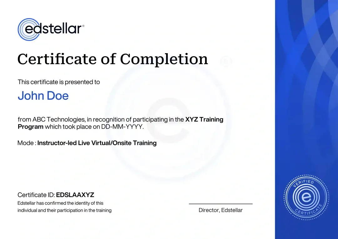
Certificate of Training Completion.
On successful completion, employees receive an Edstellar course completion certificate, recognizing their commitment to ongoing learning and professional development. It validates the skills they have built and motivates them to keep growing and contribute to organizational success.
Earned, not attended. Awarded on completion of all hands-on labs and the capstone project.
Training Delivery Modes: Virtual, Onsite and Hybrid
Choose the format that fits your teams and schedules. Every mode is instructor-led with guided hands-on labs.
Hybrid Training
Blend onsite and live virtual sessions so distributed teams learn together with one instructor and shared labs.
- Mixed onsite and virtual cohorts
- Shared cloud lab environments
- One instructor across sessions
- Flexible scheduling by module

Onsite Training
We deliver the program at your office with lab environments ready, so your team practices together in one room.
- Training at your location
- Team builds together in person
- Labs on your network stack
- Whiteboard design sessions

Live Virtual Training
Join live instructor-led sessions online with the same guided labs, breakout builds, and instructor feedback.
- Live instructor interaction
- Cloud-based lab environments
- Breakout practice sessions
- Recordings and workbooks

Need a training format that works for your team?
Full days, half days across weeks, or split by module. Tell us the delivery window and we schedule the cohort around it.
Frequently Asked Questions
Share your team size, preferred dates, and delivery mode, and we will send a tailored quote within one business day.
Yes. A short discovery call helps us map your location data goals and shape the labs to your stack before you commit.
Yes. Live virtual sessions are instructor-led with the same guided labs, breakout practice, and direct feedback.
Yes. We deliver onsite worldwide, with lab environments prepared so your team starts building on day one.
The program runs 24 instructor-led hours, typically over four to five days, with a capstone location intelligence build.
Question not answered here?
Put it in the request. A training specialist answers it directly, within one business day.
Where this Training Fits in Your Team's learning path.
Geospatial analytics and location intelligence is the first step in this path. Your team learns what spatial data is and how it answers business questions. The next courses build on that with coded analysis in Python and R, satellite imagery, and then GeoAI.


Why Choose Edstellar as Your Geospatial Analytics and Location Intelligence Training Provider
Edstellar delivers geospatial analytics training built around your location data, your tools, and your team's goals.

EXPERT TRAINERS
YEARS DELIVERING
ORGANIZATIONS TRAINED
CERTIFIED
Tailored
Content adapts to your spatial data, tools, and business questions, so every lab mirrors the location work your team owns.
Proven Methodology
A learn, practice, apply arc moves your team from geospatial concepts to working location intelligence with measurable progress.
Practice-Based Learning
Guided hands-on labs in every module build muscle memory for geocoding, spatial analysis, and dynamic map dashboards.
Expert Trainers
Instructors are practitioners who build geospatial analytics in production and coach teams through real location projects.
Global Scale
We deliver consistent, high-quality geospatial training across regions and time zones for distributed analytics teams.
Measurable Outcomes
Skills assessments and a capstone location intelligence build show exactly what your team can ship after training.
Also from Edstellar
Talent assessments
Psychometric, behavioral, leadership and 360-degree assessment.
→Training needs analysis
Needs analysis, gap identification, and a training roadmap.
→L&D consulting
Learning strategy, content, technology and ROI measurement.
→OD consulting
Org design, succession planning and cultural change.
→Managed training services
Training outsourcing, vendor management, logistics and administration.
→Coaching solutions
Executive and manager coaching that keeps skills in use.
Start an RFP shaped to your needs.
Answer three quick questions about team size, scope, and how often you need the program run, then send the request from the last step. Everything you choose travels with it, so you only fill this in once.
How many team members need training?
Geospatial Analytics & Location Intelligence Training Packages & Pricing
Where L&D holds an annual budget, license packages price the whole year at once instead of raising a purchase order per workshop. Hours and licenses are pooled across teams, programs and locations, so unused capacity is not stranded in one department.
Starter
120
trainee licenses64 hours of group training
Tailored for SMBs
Growth
320
trainee licenses160 hours of group training
Ideal for growing SMBs
Enterprise
800
trainee licenses400 hours of group training
Designed for large corporations
Custom
Unlimited
trainee licensesDuration set by the rollout
Multi-region and multi-year
Training Packages & Pricing
Choose the training format that works for your team. Pricing is customized based on your requirements, cohort size, and delivery needs.
Request Geospatial Analytics and Location Intelligence Training for Your Team
Tell us about your team, your location data, and your preferred dates. We will tailor the program and confirm your schedule and trainer.