

LiDAR Corporate Training
Plan LiDAR captures, process point clouds, and deliver terrain models and GIS-ready products in guided labs.
Edstellar, a corporate training company, delivers corporate training that helps your team turn raw LiDAR captures into reliable engineering deliverables. Employees plan acquisition missions, clean and classify point clouds, build elevation models, and produce GIS and CAD products through guided labs led by practitioners. Each session is tuned to your sensors, software, and project workflows.
Instructor-led group trainingVirtual / on-site / off-site10 languagesDelivered inEnglish, Spanish, Mandarin, German, Arabic, Portuguese, Hindi, French, Japanese, Italian100+ countriesWe have delivered inUnited States, United Kingdom, India, Canada, Germany, France, Netherlands, UAE, Saudi Arabia, Singapore, Australia, Japan, Brazil, South Africa and 90+ more countries
How we build a LiDAR-capable mapping team
EDSTELLAR LIDAR CAPABILITY MODEL
Assess LiDAR readiness
Skill checks map your team's geospatial, point cloud, and survey data baseline.
Standardize capture and processing
Shared mission-planning, classification, and QA standards keep deliverables consistent.
Practice in guided labs
Hands-on labs on real point cloud datasets cover processing, modeling, and extraction.
Measure accuracy
Checkpoint reviews score classification quality and deliverable accuracy against project standards.
Scale to production
Repeatable pipelines take capture-to-delivery LiDAR workflows across your sites.





Need more than one program?Get a group quote
Trusted as a Leading Corporate Training Provider by
















Program Overview: What is LiDAR?
LiDAR is a 26-hour instructor-led program for surveyors, geospatial engineers, and environmental analysts who capture and interpret laser-scan data. It covers sensor principles, acquisition planning, point-cloud processing, terrain modeling, and feature extraction, building full competence in turning raw scans into survey-grade maps for real-world infrastructure and environmental projects.
The training is lab-heavy: most hours are spent inside real point-cloud datasets rather than slides. Learners plan acquisition missions, classify point clouds, build DEMs, DTMs, and DSMs, and extract 3D objects in guided exercises that mirror field projects. Instructors review each build for accuracy, density, and classification quality, coaching participants through edge cases until outputs meet survey standards. The capstone, an end-to-end LiDAR mapping project, runs from raw scan to finished deliverable.
Bad LiDAR processing means missed features, wrong elevations, and deliverables clients reject, which burns survey budgets fast. Teams that wing it produce noisy clouds and models that fail in GIS and CAD. This program teaches participants to plan acquisition properly, process data cleanly, and deliver models that hold up under audit.
The program ends with the End-to-End LiDAR Mapping Project, a five-and-a-half-hour capstone where each learner takes a raw scan through planning checks, classification, terrain modeling, feature extraction, and GIS/CAD integration to produce a survey-ready map package. The result is a portfolio-grade deliverable and the judgment to scope, plan, and validate LiDAR work independently.
Seven modules and 26 hours: sensor principles, capture planning, point cloud processing, terrain modeling, feature extraction, GIS and CAD integration, and a capstone mapping project. Every module pairs concepts with a guided lab, so each technique is practiced on real data. It closes with a capstone the team plans, processes, models, and presents against an accuracy checklist.
Delivery is hybrid across virtual and onsite sessions, scheduled around your calendar. Cohorts train as one group or split into batches, with session materials and lab guides included for every participant.
What's Included in this Workshop for Your Enterprise Teams
- 1
Capture planning toolkit
Mission parameters, density targets, and QA checklists.
- 2
Guided point cloud labs
Real datasets for processing, classification, and modeling.
- 3
Deliverable templates
Surface, feature, and handoff formats for client work.
- 4
Capstone project review
Instructor feedback against an accuracy checklist.
- Instructor-led sessions, virtual or onsite
- Flexible batches scheduled around your calendar
- Pre-training skill check for every cohort
- Lab environment setup guidance and support
- Session recordings and reference materials
- Post-training support and Q&A window
Build your team's skills. Anywhere in the world.
Real-world use cases
from day one
Instructor-led training
for your teams
Delivered globally
in 100+ countries


Enterprise Training Solutions Customized for Your Company
One partner for instructor-led corporate training, delivered the way your teams work.
Request a Training Quote- Customized Training Delivery
- Scale Your Training: Small to Large Teams
- In-person Onsite, Live Virtual or Hybrid Training Modes
- Plan from 2000+ Industry-ready Training Programs
- Hands-On Labs on Live Infrastructure, Led by Industry Experts
LiDAR Course Topics and Program Outline
A tailored 26-hour, seven-module workshop: one learning journey from LiDAR sensor fundamentals to a capstone mapping project. Sessions pair concepts with labs on real-world data. Materials include lab guides and templates, plus a capstone assessment.
Built by Edstellar with geospatial engineers
Built by survey and geospatial engineers who process LiDAR data in production, shaped around your stack and use cases.
Skill checks baseline your team's mapping, point cloud, and geospatial data handling experience before training begins.
Live instruction covers LiDAR sensor principles and capture planning across 5.5 focused hours.
Guided labs build processing, classification, and terrain modeling skill across 11 hours of supervised practice.
Your team ships a capstone mapping project in 9.5 hours, reviewed against accuracy and deliverable standards.
From sensor principles to a capstone mapping project, every technique is practiced in guided labs.
Delivered as
Delivered as a hybrid program of live instruction and guided labs, scheduled around your team's calendar in flexible batches.

Open a sample point cloud dataset, inspect returns and intensity values, and verify accuracy metadata against a specification.
learna)How light detection and ranging measures distance
b)Airborne, terrestrial, and mobile LiDAR platforms
c)Point cloud structure, attributes, and LAS essentials
d)Accuracy, precision, and error budgets
Plan a capture mission for a sample site: set density targets, lay out flight lines, and place ground control points in a planning exercise.
learna)Mission planning and capture parameters
b)Flight lines, overlap, and point density targets
c)Ground control points and calibration routines
d)Acquisition QA and acceptance checks
Clean and classify a real point cloud tile: remove noise, separate ground returns, and run a QA pass on the classification.
practicea)LAS formats, tiling, and data management
b)Noise filtering and outlier removal
c)Ground and non-ground classification
d)Classification QA and manual cleanup
Generate DEM and DSM rasters from classified data, derive slope and contour layers, and validate the surface against control points.
practicea)Interpolation methods for elevation surfaces
b)Generating DEM, DTM, and DSM rasters
c)Slope, aspect, and curvature analysis
d)Contour extraction and surface validation
Extract building footprints and vegetation metrics from a sample dataset and compare two epochs to flag change areas.
practicea)Building footprint and roofline extraction
b)Vegetation metrics and canopy modeling
c)Corridor and linear feature mapping
d)Change detection across capture epochs
Build a production workflow: move processed LiDAR products into GIS layers and generate CAD-ready surface deliverables.
applya)GIS platform integration and layer design
b)CAD deliverables: surfaces, sections, and annotations
c)Data exchange standards and file handoffs
d)Automating repeat production pipelines
Deliver a complete LiDAR mapping package from raw data to final products, reviewed against an accuracy and completeness checklist.
applya)Scoping the project and deliverable checklist
b)Processing and classification pass
c)Modeling, extraction, and product generation
d)Accuracy review and client-ready delivery
Customize this program tailored to your team?
Tell us your training needs: what your team already works with, the level they’re at, and the topics you want them to focus on. We’ll adjust the modules, duration and hands-on labs, and send you a customized outline for your group.
Key Skills and Outcomes Your Team Will Gain
Seven job-ready outcomes your team will demonstrate by the end of the program. Each competency is practiced in guided labs and reviewed in the capstone.
Plan LiDAR data capture missions
Define density targets, flight or drive parameters, and ground control for a capture that meets specification.
Process and clean point clouds
Tile, filter, and manage LAS data so it is ready for classification and modeling.
Classify ground and non-ground returns
Run classification routines and QA the results with manual cleanup where needed.
Generate DEM, DTM, and DSM models
Build elevation surfaces with sound interpolation choices and validate them against control.
Extract features and 3D models
Derive building footprints, vegetation metrics, and corridor features from classified clouds.
Integrate LiDAR into GIS and CAD workflows
Move LiDAR products into GIS layers and produce CAD-ready surfaces and annotations.
Validate accuracy and deliver products
Check deliverables against accuracy standards and hand off client-ready packages.
Teams that Benefit from this LiDAR Group Training
This group training is built for engineering and geospatial teams that capture, process, or consume LiDAR data and need reliable, repeatable results. Content adapts to each cohort's roles, sensors, and experience, so every batch practices the workflows it owns, from mission planning to final delivery.
Run capture-to-delivery LiDAR projects with confidence.
Survey teams learn mission planning, classification, and accuracy QA so every capture converts into survey-grade deliverables.
Workflow friction
- Inconsistent capture density across missions
- Slow manual classification cleanup
- Deliverables rejected on accuracy checks
How the program helps
- Repeatable mission-planning routines
- Faster classification with QA checkpoints
- Accuracy validation before client handoff
Practice use cases
- Corridor mapping labs
- Density planning drills
- Accuracy review sessions
Feed design models with accurate terrain data.
Civil teams turn LiDAR surfaces into design inputs, extracting terrain, sections, and quantities for infrastructure projects.
Workflow friction
- Terrain data that misses design tolerances
- Slow handoffs between survey and design
- Rework from unverified surfaces
How the program helps
- Validated DEM and DTM inputs
- Smoother survey-to-design handoffs
- Fewer rework cycles from bad data
Practice use cases
- Surface validation labs
- Quantity takeoff drills
- Section extraction labs
Build analysis-ready LiDAR products in GIS.
GIS teams integrate classified clouds and derived rasters into enterprise layers for analysis, mapping, and reporting.
Workflow friction
- Point clouds too large to use in GIS
- Derived layers that do not align
- One-off products, no repeat process
How the program helps
- Tiled, GIS-ready LiDAR layers
- Aligned surfaces and feature layers
- Repeatable product generation pipelines
Practice use cases
- Layer design labs
- Change detection drills
- Product pipeline labs
Map corridors and assets from LiDAR data.
Asset teams extract linear features, clearances, and vegetation encroachment from corridor captures for maintenance planning.
Workflow friction
- Vegetation masking critical assets
- Clearance checks done by field visits
- No baseline for change monitoring
How the program helps
- Feature extraction for corridor assets
- Remote clearance assessments
- Epoch-over-epoch change baselines
Practice use cases
- Corridor extraction labs
- Clearance analysis drills
- Vegetation metric labs
Cohorts can mix functions; labs adapt to the sensors, software, and project types your team owns.
Prerequisites: This training suits survey technicians, GIS analysts, civil designers, and engineers who work with spatial data. Familiarity with basic mapping concepts helps, but no prior LiDAR experience is needed. Content adapts to each cohort's sensors, software, and project context, so beginners and experienced practitioners both practice at their level.
Survey Technician to Geospatial Specialist
Progression runs from basic point cloud handling to end-to-end project delivery. Signature skills like accuracy validation grow through the capstone, while planning and modeling skills mature across guided labs.
One program that grows with geospatial careers, from first point cloud to confident production delivery.
Mixed cohort, or several teams at once?
We can tailor the training to different teams, roles, and experience levels within the same program.
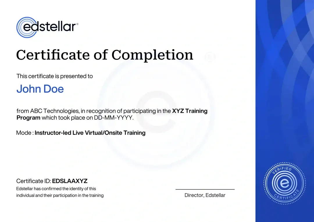
Certificate of Training Completion.
On successful completion, employees receive an Edstellar course completion certificate, recognizing their commitment to ongoing learning and professional development. It validates the skills they have built and motivates them to keep growing and contribute to organizational success.
Earned, not attended. Awarded on completion of all hands-on labs and the capstone project.
Training Delivery Modes: Virtual, Onsite and Hybrid
Choose the format that fits your team: live virtual, at your offices, or a hybrid mix, all with the same guided LiDAR labs.
Hybrid Training
Instructor-led sessions mix onsite and virtual delivery with guided LiDAR labs throughout. The instructor reviews point cloud work live and tunes exercises to your sensors and software. Hybrid keeps scheduling flexible without losing live interaction.
- Live instruction across onsite and virtual sessions
- Guided labs on real point cloud datasets
- Instructor review of classification and modeling work
- Flexible scheduling without losing live interaction

Onsite Training
Instructor-led training at your offices, with labs set up on your network and tooling. The instructor works through your project data with the team and tunes exercises to your sensors, software, and delivery standards.
- Instructor-led training at your offices
- Labs on your network and tooling
- Work through your own project data together
- Exercises tuned to your sensors and software

Live Virtual Training
Live virtual sessions with the same guided labs, delivered through a shared lab environment. The instructor demonstrates processing steps, watches your screen work, and reviews each module's outputs in real time.
- Live virtual instruction with real-time demos
- Shared lab environment for every participant
- Instructor reviews of lab outputs each session
- Session recordings and lab guides included

Need a training format that works for your team?
Full days, half days across weeks, or split by module. Tell us the delivery window and we schedule the cohort around it.
Frequently Asked Questions
Share your team size, timelines, and delivery preference, and we will send a detailed per-group quote with batch options.
Yes. A short discovery call maps your sensors, software, and project goals so we can tailor the labs and schedule.
Yes. Live virtual sessions use a shared lab environment with real point cloud datasets and instructor reviews.
Yes. Onsite delivery sets up labs on your network so the team can work with its own data and tooling.
The program runs 26 hours across seven modules, delivered in batches scheduled around your calendar.
Question not answered here?
Put it in the request. A training specialist answers it directly, within one business day.
Where this Training Fits in Your Team's learning path.
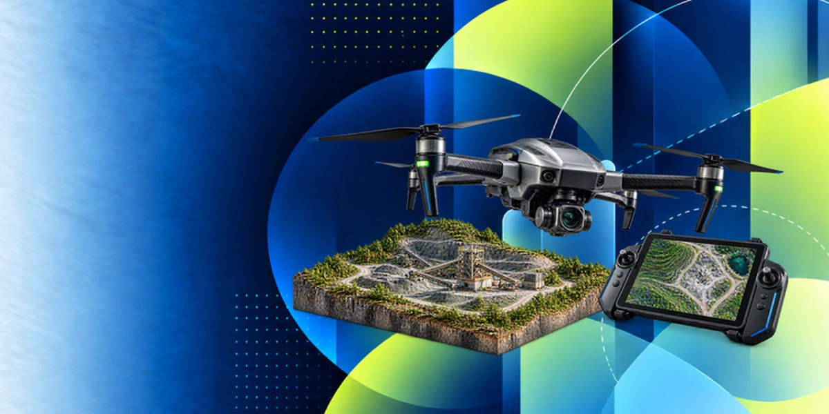
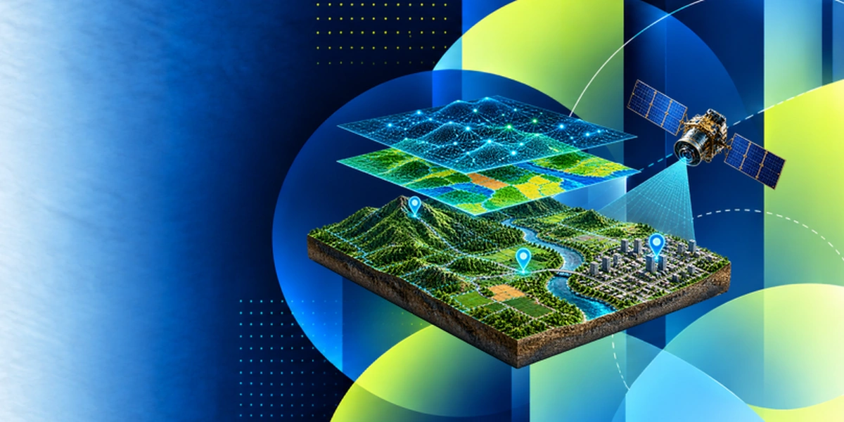
LiDAR capture follows drone mapping and comes before wider remote sensing and GeoAI work. Your team learns to fly and map first, then collects and processes LiDAR point clouds, combines them with other remote sensing data, and applies deep learning to extract features at scale.


Why Choose Edstellar as Your LiDAR Corporate Training Provider
Edstellar pairs a proven training method with LiDAR practitioners, so your team learns on real data and leaves ready to deliver.

EXPERT TRAINERS
YEARS DELIVERING
ORGANIZATIONS TRAINED
CERTIFIED
Tailored
Every cohort's labs, datasets, and exercises are tuned to your LiDAR sensors, software, and project workflows.
Proven Methodology
Concise instruction followed by guided labs and reviews, a repeatable method that turns concepts into deliverables.
Practice-Based Learning
Seven modules of guided labs on real point clouds keep your team processing, not just listening.
Expert Trainers
Practitioners who process LiDAR in production lead every session and review your team's outputs.
Global Scale
One consistent program delivered across your offices worldwide, scheduled around your teams.
Measurable Outcomes
Lab checkpoints and a capstone review prove skill gains you can report internally.
Also from Edstellar
Talent assessments
Psychometric, behavioral, leadership and 360-degree assessment.
→Training needs analysis
Needs analysis, gap identification, and a training roadmap.
→L&D consulting
Learning strategy, content, technology and ROI measurement.
→OD consulting
Org design, succession planning and cultural change.
→Managed training services
Training outsourcing, vendor management, logistics and administration.
→Coaching solutions
Executive and manager coaching that keeps skills in use.
Start an RFP shaped to your needs.
Answer three quick questions about team size, scope, and how often you need the program run, then send the request from the last step. Everything you choose travels with it, so you only fill this in once.
How many team members need training?
LiDAR Training Packages & Pricing
Where L&D holds an annual budget, license packages price the whole year at once instead of raising a purchase order per workshop. Hours and licenses are pooled across teams, programs and locations, so unused capacity is not stranded in one department.
Starter
120
trainee licenses64 hours of group training
Tailored for SMBs
Growth
320
trainee licenses160 hours of group training
Ideal for growing SMBs
Enterprise
800
trainee licenses400 hours of group training
Designed for large corporations
Custom
Unlimited
trainee licensesDuration set by the rollout
Multi-region and multi-year
Training Packages & Pricing
Choose the training format that works for your team. Pricing is customized based on your requirements, cohort size, and delivery needs.
Request LiDAR Training for Your Team
Share your team size, LiDAR sensors, software, and timelines to receive a tailored training plan and quote. Book a discovery call to discuss your goals; we confirm availability and respond with a proposal.