
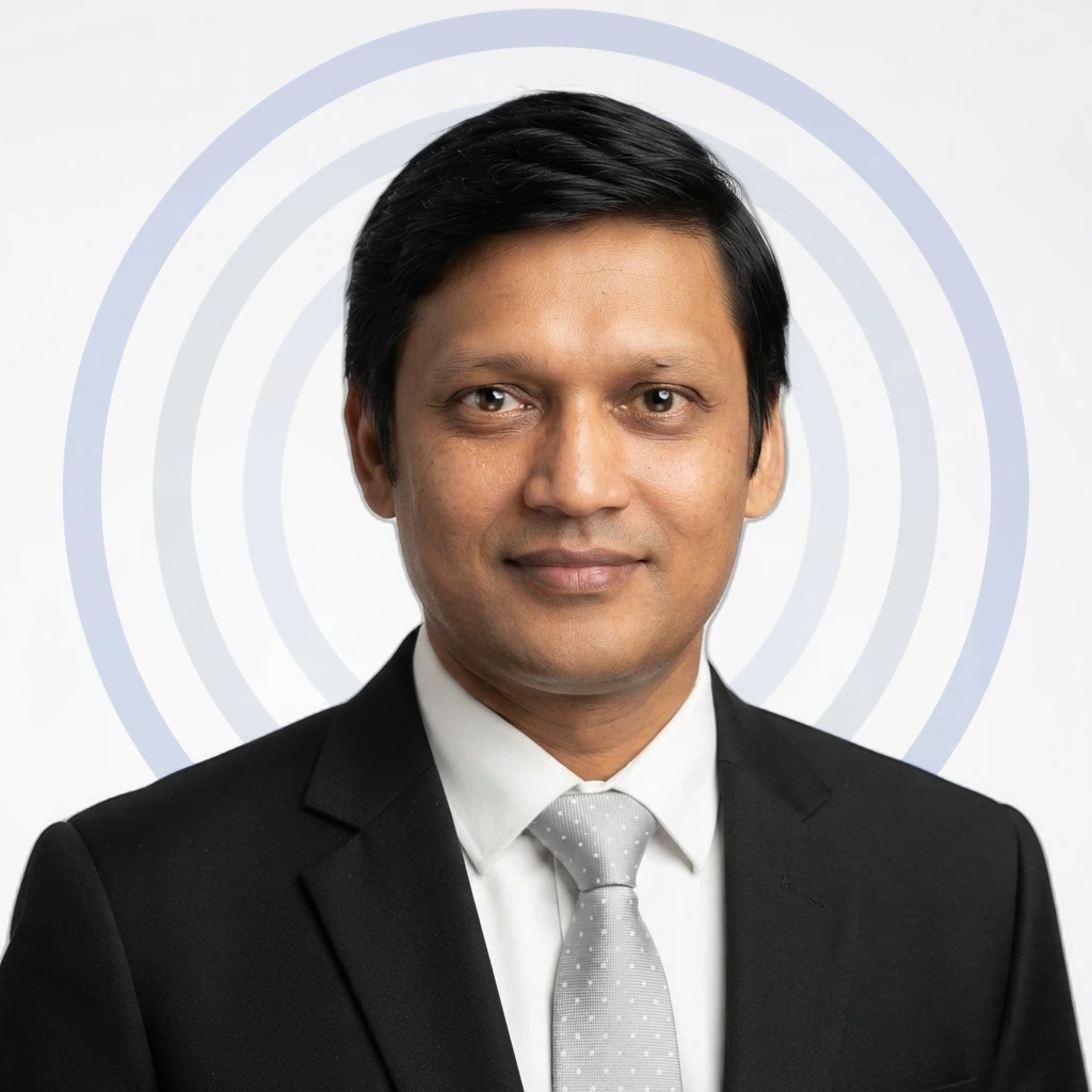
- Location
- Lucknow, India
- Trainer Since
- January, 2012
GIS Trainer in Lucknow, India
About Anurag
Anurag is a highly skilled professional with Geographic Information Systems (GIS) expertise. With extensive knowledge and experience in this field, Anurag has established himself as an expert in spatial data analysis and mapping. As a GIS expert, Anurag deeply understands geospatial technologies, data collection methods, and spatial analysis techniques. He uses GIS software such as ArcGIS, QGIS, and MapInfo to capture, analyze, and visualize geospatial data. Anurag's proficiency extends to designing and implementing geodatabases, creating geospatial models, and integrating spatial data. His expertise enables him to effectively solve complex spatial problems, such as identifying suitable locations for infrastructure projects, optimizing routes, and analyzing patterns for urban planning. Additionally, Anurag is skilled in cartographic design, producing high-quality maps and visual representations that effectively communicate spatial information.
Anurag's expertise in GIS makes him a valuable asset to organizations that rely on spatial data analysis and mapping. His dedication to staying updated with the latest advancements in GIS technologies ensures that he remains at the forefront of the field. Anurag's ability to analyze geospatial data, provide insights, and support decision-making processes positions him as a trusted advisor. With his skills and knowledge, Anurag plays a crucial role in harnessing the power of spatial information for various applications, ranging from environmental management and disaster response to urban planning and market analysis.
Anurag is a Corporate Trainer For
ArcGIS
Training Since:January, 2012
Work Experience
Corporate Trainer
Computer and Information Technology (IT) · October, 2018 - present
Roles & Responsibilities
- Conducting training sessions for corporate clients
- Developing training materials tailored to the specific needs of clients
- Assessing the training needs of organizations and designing customized programs
- Facilitating group discussions and encouraging active participation
- Providing constructive feedback to help participants improve their skills
- Staying updated with the latest industry trends and incorporating them into training
- Building relationships with potential clients and industry professionals
- Evaluating training effectiveness through assessments and participant feedback
- Adapting training methods to accommodate different learning styles
- Providing GIS training and support to Different National and International Students on different GIS-related Issues
- Delivered Lectures on Core Remote Sensing and GISrelated issues and provided training on requirements as Consultant
- Training of Drone Survey and Data analysis of Disaster affected areas
GIS Specialist
Computer and Information Technology (IT) · September, 2014 - March, 2015
Roles & Responsibilities
- Provided expertise in GIS data analysis, cartography, and spatial database management to support the National Spatial Data Infrastructure (NSDI) program in Oman
- Developed and maintained geospatial datasets, ensuring data quality, accuracy, and adherence to established standards and protocols
- Conducted geospatial analysis and modeling, generating insights and reports for various projects and initiatives
- Collaborated with internal and external stakeholders to understand their GIS requirements and provided technical guidance and support
- Produced high-quality maps, visualizations, and geospatial products for data dissemination and decision-making purposes
- Assisted in developing and implementing GIS policies, standards, and workflows to promote effective data management and utilization
GIS Manager - Circle Lead
Computer and Information Technology (IT) · July, 2013 - August, 2014
Roles & Responsibilities
- Managed and supervised a team of GIS professionals, providing guidance and support in executing GIS projects and initiatives across the designated circle
- Oversaw the planning, implementing, and maintaining GIS systems and infrastructure, ensuring efficient and accurate spatial data management
- Collaborated with internal stakeholders to understand their GIS requirements, aligning them with business objectives and delivering customized GIS solutions
- Conducted quality checks on spatial data, ensuring accuracy, completeness, and compliance with industry standards and guidelines
- Led the developing and implementation of GIS strategies, frameworks, and workflows to streamline processes and improve operational efficiency
- Worked closely with cross-functional teams, including network planning, operations, and engineering, to integrate GIS data into network design and optimization processes
Skills
- GIS
- Arcobject
- SQL
- ArcGIS
- Databases
- Spatial Analysis
- Geomatics
- ArcMap
- ERDAS Imagine
- Time Management
- Team Management
- Communication Skills
Education
University of Lucknow
Disaster Relief and Rehabilitation
2010-2011
Want Anurag for your Next Training?
Request a DemoOther Trainers

Mehak
First Time Managers Trainer in Bangalore
14+ years of Experience

Oyiboka
Project Management Trainer in Abuja
11+ years of Experience
Ravi
Change Management Trainer in Bangalore
12+ years of Experience
Satyanarayana
Cybersecurity Fundamentals Trainer in Hyderabad
7+ years of Experience

Nibedita
Motivational Skills Trainer in Bangalore
9+ years of Experience

Roberta
Self Awareness Trainer in Al Wajba
11+ years of Experience

Venu
MongoDB Trainer in Hyderabad
19+ years of Experience

Mrinal
Personality Development Trainer in Gurgaon
22+ years of Experience

Harshil
First Aid and CPR Trainer in Ahmedabad
10+ years of Experience

Yogesh
Team Building Trainer in Delhi
14+ years of Experience

Simon
Self Awareness Trainer in Ubud
9+ years of Experience

Tamer
Cost Reduction in Procurement Trainer in CAIRO
19+ years of Experience
More Corporate Training Programs
- Employee Experience (EX) Design & Measurement Training
- AI and LLM Observability Corporate Training
- Data Mesh & Streaming Architecture Training
- PostgreSQL Performance Tuning Training
- Platform Engineering & Internal Developer Platforms Training
- Micro-Frontends Architecture Corporate Training
- LangChain & LLM Application Development Training
- Human Factors Engineering Training