

Corporate Geospatial and GIS Training Courses
Location data that decides.
We build geospatial capability inside your organization: GIS platforms, spatial analysis, remote sensing, and land administration, taught by practitioners who work with real spatial data.
Instructor-led workshops and programsIn-house, virtual or blended10 languagesDelivered inEnglish, Spanish, Mandarin, German, Arabic, Portuguese, Hindi, French, Japanese, Italian100+ countriesWe have delivered inUnited States, United Kingdom, India, Canada, Germany, France, Netherlands, UAE, Saudi Arabia, Singapore, Australia, Japan, Brazil, South Africa and 90+ more countries




Trusted as a Leading Corporate Training Provider by
















What is corporate Geospatial training?
Corporate geospatial training at Edstellar turns location data into decisions. Programs cover enterprise GIS administration on ArcGIS and QGIS, spatial analysis and satellite imagery, remote sensing and LiDAR analytics, and land records and geospatial governance.
Every program is instructor-led and hands-on with real spatial datasets. GIS administrators learn platform operations they apply the same week, analysts practice the spatial methods behind planning and infrastructure decisions, and land teams work through cadastre and governance scenarios.
Engagements usually start with the platform teams running the GIS, then extend to analysts and remote sensing specialists. From there, enterprises add governance programs so location data stays authoritative across departments.
Explore Geospatial and GIS training by topic
Two areas carry the catalog. Start where your location-data pain is greatest.
- GIS Platforms & Spatial Analysis6 Instructor-led Programs
- Land Administration & Earth Observation3 Instructor-led Programs
Popular Geospatial and GIS training programs
The most in-demand Geospatial & GIS training programs enterprises book right now.
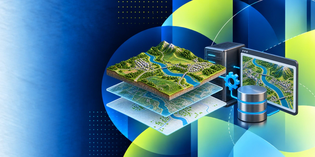 GIS Platforms & Spatial Analysis
ArcGIS Enterprise: Configuring a Base Deployment
~ 23 HoursInstructor-ledInstructor-led training on ArcGIS Enterprise: Configuring a Base Deployment, scoped to your team's level and use cases.
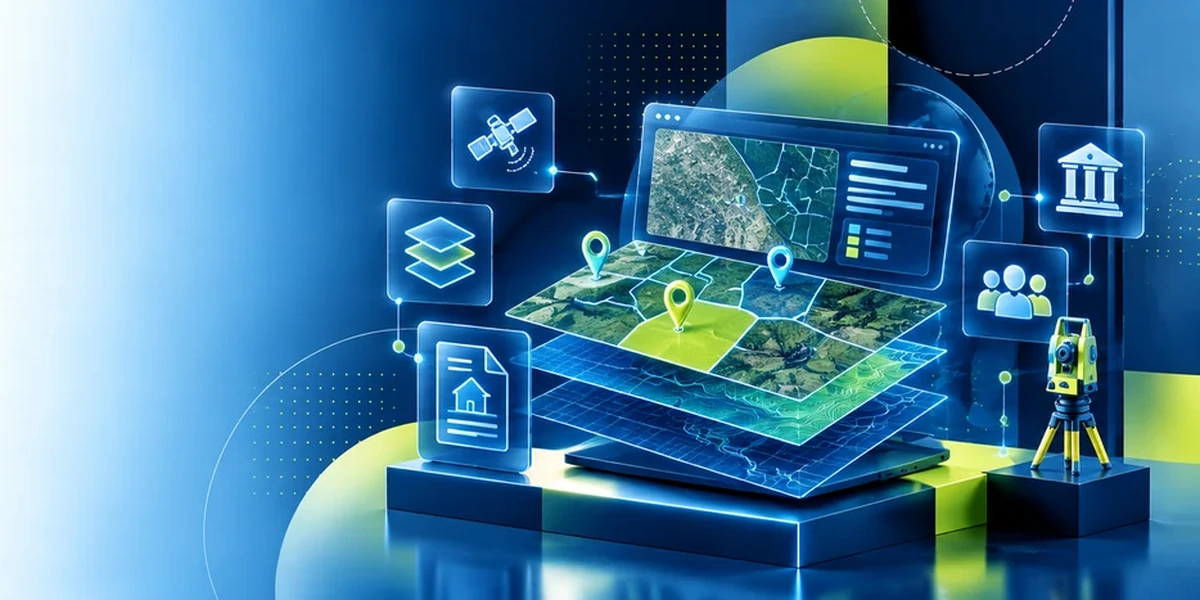 Land Administration & Earth Observation
Land Records, Cadastre & Geospatial Governance
~ 24 HoursInstructor-ledInstructor-led training on Land Records, Cadastre & Geospatial Governance, scoped to your team's level and use cases.
Instructor-led Geospatial and GIS training programs by topic.
Browse all 13 Geospatial & GIS programs across 2 topics, from GIS Platforms & Spatial Analysis to Land Administration & Earth Observation. Filter by topic and delivery format, then request a tailored proposal.
SHOWING 1–13 OF 13 · 13 IN THE LIVE CATALOG
ArcGIS Enterprise: Configuring a Base Deployment
Instructor-led training on ArcGIS Enterprise: Configuring a Base Deployment, scoped to your team's level and use cases.
ArcGIS Pro & Enterprise GIS Administration
Instructor-led training on ArcGIS Pro & Enterprise GIS Administration, scoped to your team's level and use cases.
Clutter Phenomenology Modeling and Simulation
Instructor-led training on Clutter Phenomenology Modeling and Simulation, scoped to your team's level and use cases.
Editing Data with ArcGIS Pro
Instructor-led training on Editing Data with ArcGIS Pro, scoped to your team's level and use cases.
GDAL Tools
Instructor-led training on GDAL Tools, scoped to your team's level and use cases.
Land Records, Cadastre & Geospatial Governance
Instructor-led training on Land Records, Cadastre & Geospatial Governance, scoped to your team's level and use cases.
Migrating from ArcMap to ArcGIS Pro
Instructor-led training on Migrating from ArcMap to ArcGIS Pro, scoped to your team's level and use cases.
Open-Source GIS with QGIS & Python
Instructor-led training on Open-Source GIS with QGIS & Python, scoped to your team's level and use cases.
Passive Acoustic Sensing Systems Engineering
Instructor-led training on Passive Acoustic Sensing Systems Engineering, scoped to your team's level and use cases.
Radar Systems Modeling and Simulation
Instructor-led training on Radar Systems Modeling and Simulation, scoped to your team's level and use cases.
Remote Sensing, LiDAR & Earth Observation Analytics
Instructor-led training on Remote Sensing, LiDAR & Earth Observation Analytics, scoped to your team's level and use cases.
Space-Based Radar Engineering
Instructor-led training on Space-Based Radar Engineering, scoped to your team's level and use cases.
Spatial Analysis & Satellite Imagery in a GIS
Instructor-led training on Spatial Analysis & Satellite Imagery in a GIS, scoped to your team's level and use cases.
Find the Right Geospatial and GIS Training for Your Teams
Explore Geospatial & GIS training aligned with your teams’ functions, job roles, industry and tools. Help your teams build the knowledge and practical skills to apply geospatial technologies and GIS across your organization, supporting your business priorities and evolving needs.
Spatial Analysis & Intelligence
Use location data to explain patterns and compare options. Build reproducible spatial analyses that connect technical results to operational decisions.
Geospatial Data Management
Create and maintain spatial datasets that other teams can trust. Strengthen coordinate-system choices, editing controls and data-quality checks.
Field Mapping & Asset Surveys
Connect field observations with usable maps and asset records. Design collection workflows that improve accuracy and handoffs to office teams.
GIS Analysts & Developers
Expand technical capability from analysis to reusable geospatial solutions. Combine spatial processing, automation and clear communication of results.
Government & Urban Planning
Use maps and spatial evidence to evaluate community needs and infrastructure choices. Communicate planning scenarios and service patterns to diverse stakeholders.
Utilities & Infrastructure
Connect network geography with asset condition and operational priorities. Improve the quality of information used for maintenance, modernization and response.
Environment & Natural Resources
Analyze environmental conditions and changes using spatial evidence. Combine datasets and imagery to support monitoring, assessment and stewardship.
Engineering & Construction
Bring geographic context into design and construction decisions. Connect site conditions, project information and stakeholder maps through the delivery lifecycle.
ArcGIS
Develop practical mapping and analysis workflows in ArcGIS. Build stronger spatial-data management, geoprocessing and sharing practices.
QGIS
Create maps and repeatable analyses with QGIS. Improve data integration, editing and standards-based sharing using its open-source ecosystem.
Training a role that is not listed, or a mix of them? Tell us who you are training and what they need to do, and we build the shortlist.
Categories worth exploring next
Where geospatial teams most often cross-train, based on how these courses are classified.
Capabilities your organization will gain.
Domain-level outcomes, not course objectives. These are the capabilities enterprises usually buy this training to build.
Administer GIS platforms well
Enterprise ArcGIS and QGIS environments managed, secured, and kept reliable.
Analyze space properly
Spatial analysis methods that turn imagery and vector data into planning-grade answers.
Use earth observation
Remote sensing, LiDAR, and satellite analytics applied to land and infrastructure questions.
Keep land records authoritative
Cadastre practice and geospatial governance that stand up to audit and dispute.
Work open-source confidently
QGIS and Python workflows that deliver without enterprise licence spend.
Govern location data
Standards and stewardship so location data stays consistent across departments.
Instructor-led Training Delivery: You pick the format
Onsite, live virtual, or hybrid, every program is instructor-led and built around your teams.
In-house / On-Site Session
A trainer comes to your office and works face to face with your team, using your policies and your examples.
- In-person, classroom based training at your own premises
- Tailored to your policies, data and use cases
- Hands-on, high-interaction sessions
- Team builds shared context together
- Schedule set around your operations
For small teams or enterprise-wide training, across one site or multiple global locations, in one language or multiple languages.
Get a Quote
Virtual / Online Session
Expert-led live online sessions delivered anywhere, with consistency and easy scheduling. Training tools such as Zoom or Microsoft Teams are selected subject to your organization's approval and compliance requirements.
- Delivered anywhere worldwide
- Standardized content for consistent outcomes
- Join from your own workspace, no travel
- Scales to large groups across sites
- Interactive tools keep remote learners engaged
For small teams or enterprise-wide training, across one site or multiple global locations, in one language or multiple languages.
Get a Quote
Blended / Hybrid Session
Combine in-person sessions with live online training in a coordinated instructor-led program, with the mix planned around your team's needs.
- A planned mix of classroom based and online sessions
- In-person practice with live virtual reinforcement
- One learning plan across both delivery formats
- Online sessions using organization-approved tools
- Session sequence and schedules agreed with your team
For small teams or enterprise-wide training, across one site or multiple global locations, in one language or multiple languages.
Get a Quote
Learn from Trainers with Industry Experience
Equip your teams with practical skills in geospatial analysis and GIS through trainers who bring relevant industry knowledge and real business examples to every session. Our trainers connect spatial analysis, mapping, and remote sensing to workplace challenges, helping employees apply what they learn with confidence.

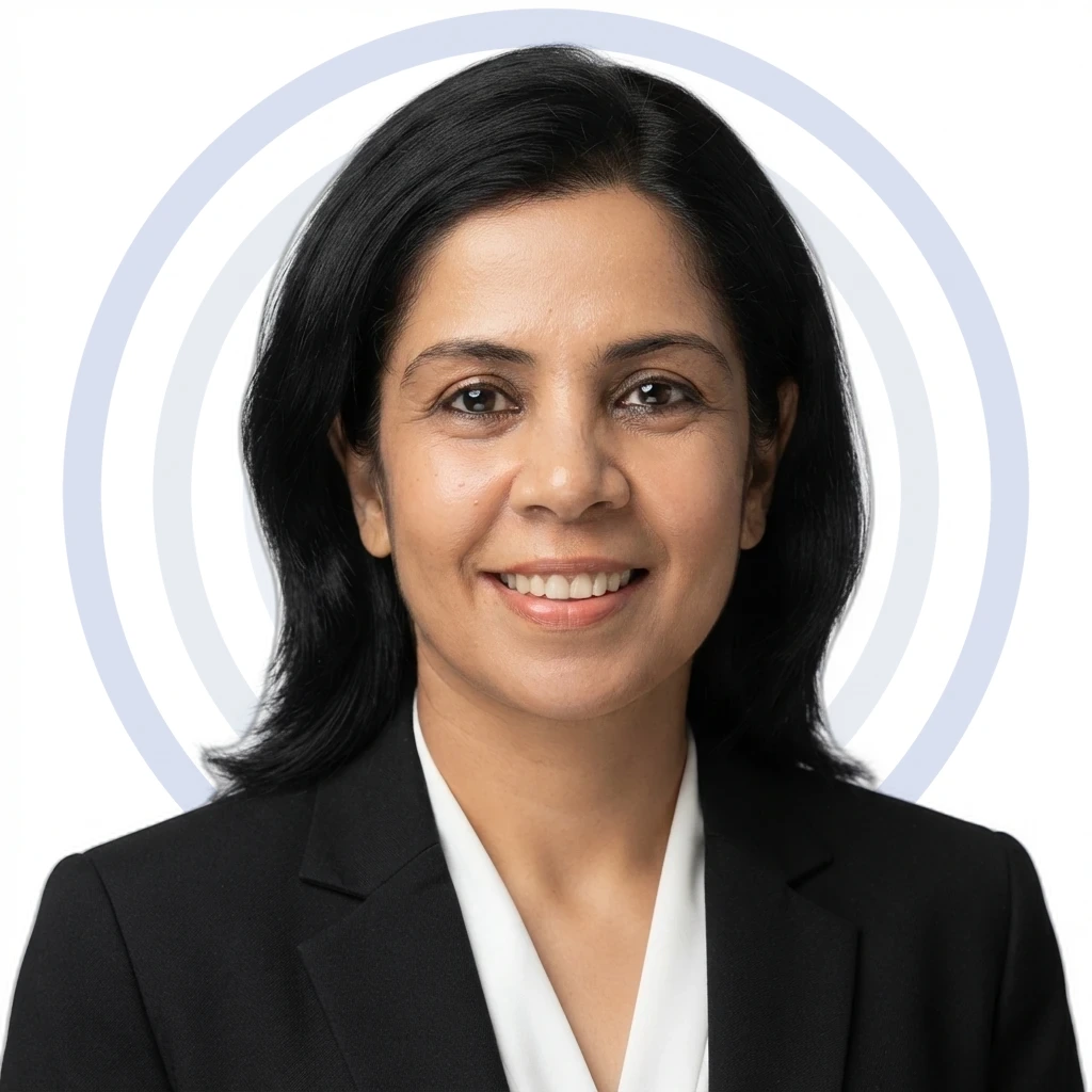
Anurag
GIS Trainer in Lucknow, India
14+ years of Experience

Shikha
Geographic Information System Trainer in Bengaluru
8+ years of Experience

Loukisha
Managing Conflict with Emotional Intelligence Trainer in Moss Point
10+ years of Experience

Tobechukwu
Web Development Trainer in Enugu
7+ years of Experience
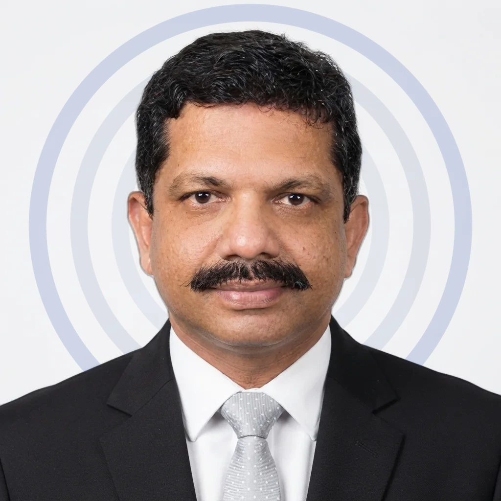
Ben
Leadership Skills Trainer in Bengaluru
28+ years of Experience
Trainers are matched to your stack and delivery window at scheduling. We confirm your assigned trainer, with a full profile, before the program is booked, and you can sit in on a trial session first.
Why enterprises choose Edstellar as their Geospatial and GIS training provider.
Turn location data into evidence your teams can use with confidence. Edstellar customizes role-based, instructor-led geospatial and GIS training for analysts, planners, field teams and decision-makers. Practical learning connects spatial data preparation, analysis and mapping with real planning and operational questions, building judgment around accuracy, geographic context and interpretation as data sources, analytical methods and organizational location intelligence needs evolve.

Explore location patterns that inform planning and operational decisions
Align data collection, analysis and interpretation across geospatial roles
Assess coordinate systems, accuracy and limitations before interpreting results
Adapt learning to new spatial data sources and analytical methods
Organizations trained across industries inform learning around diverse location needs
Company-wide corporate training experience supports applied geospatial learning
Our company-wide trainer network connects GIS with complementary analytical disciplines
Edstellar's certified quality and information-security management systems support geospatial training delivery
How a Geospatial and GIS capability program actually runs.
Every engagement runs the same five stages, from capability baseline through delivery to sustained measurement.
Discover
We meet your stakeholders and L&D team to baseline what your people can do today against the Geospatial capability you need.
Week 1-2
Design
Programs are assembled against your policies, obligations, and team levels, then trainers are shortlisted from the vetted bench.
Week 2-4
Deliver
Closed-cohort instructor-led sessions in your language and timezone, with labs, exercises, and materials shipped alongside.
Scheduled to your calendar
Assess
Pre and post assessments establish a measurable change in capability, benchmarked against role frameworks.
Immediately after delivery
Sustain
Retrospectives, refresher modules and skill-refresh tracking keep the investment from decaying, and the measured gaps feed the next cycle.
Quarterly
Stage 05 feeds the next cycle: the gaps it measures become the next Discover.
Also from Edstellar
Talent assessments
→Psychometric, behavioral, leadership and 360-degree assessment.
Training needs analysis
→Needs analysis, gap identification, and a training roadmap.
L&D consulting
→Learning strategy, content, technology and ROI measurement.
OD consulting
→Org design, succession planning and cultural change.
Managed training services
→Training outsourcing, vendor management, logistics and administration.
Coaching solutions
→Executive and manager coaching that keeps skills in use.
Questions enterprises ask before booking.
GIS analysts and administrators, remote sensing specialists, land records and survey teams, and data leaders.
Yes. Programs are hands-on with real spatial datasets, so methods learned apply directly to your projects.
Yes. Enterprise GIS administration covers ArcGIS Pro, and a dedicated program covers open-source QGIS with Python.
Both. Live virtual sessions run in your timezone; on-site delivery suits team workshops.
Programs run 18 to 24 hours across two to three days. Durations are fixed per program and shown in the catalog.
From single cohorts of up to 25 through enterprise rollouts. Larger groups run as parallel cohorts.
Yes. GIS programs are lab-based on live platforms with real datasets.
Pre and post assessments measure capability change against geospatial role expectations.
Yes. Every engagement is scoped to your datasets, platforms, and use cases.
Yes. A dedicated program covers remote sensing, LiDAR, and earth observation analytics.
Yes. A discovery call scopes your platforms, teams, and goals before any proposal. No commitment required.
Lab guides, workflow templates, data checklists, and slide decks. Teams leave with reusable assets.
Start a Request for Proposal (RFP) shaped to your needs.
Pick the scale that matches your rollout. Every quote is tailored to your teams and timeline.
Team size
1-25 PARTICIPANTS
Single cohort
One or two programs for a single team, delivered as a closed cohort. The usual entry point for a first Geospatial engagement.
- One cohort of up to 25 participants
- Curriculum customized to your obligations
- Onsite, virtual, or offsite delivery
- Certificates and completion report
26-150 PARTICIPANTS
Scaled cohort
Multiple cohorts or programs for larger teams, with delivery structured around your workforce and training requirements.
- Multiple cohorts across teams
- Curriculum customized to your obligations
- Onsite, virtual, or offsite delivery
- Certificates and completion reporting
151-1,000 PARTICIPANTS
Enterprise rollout
A coordinated rollout across business units, with role-based tracks and central reporting for L&D.
- Enterprise-wide cohort planning
- Role-specific curriculum options
- Flexible scheduling across regions
- Program governance and reporting
1,000+ PARTICIPANTS
Global scale
Geospatial capability at organizational scale, with dedicated management and measurement from pilot to rollout.
- Global delivery at scale
- Dedicated program management
- Custom curriculum and assessments
- Executive reporting and ROI tracking
Ask us about Geospatial and GIS training for your teams.
Tell us which teams you are training and what they need to be able to do. Anything you filtered in the catalog comes through with your message.