Corporate LiDAR Training Course

Edstellar's LiDAR instructor-led training course is designed for professionals to master LiDAR technology for advanced spatial analysis. Empower your team with the skills to harness the knowledge of GIS concepts and MicroStation technology to stay competitive and confidently make data-driven decisions.

32 - 40 hrs
Instructor-led (On-site/Virtual)
Language
English
Enquire Now
LiDAR Training

Drive Team Excellence with LiDAR Training for Employees

Empower your teams with expert-led on-site/in-house or virtual/online LiDAR Training through Edstellar, a premier corporate training company for organizations globally. Our tailored LiDAR corporate training course equips your employees with the skills, knowledge, and cutting-edge tools needed for success. Designed to meet your specific needs, this LiDAR group training program ensures your team is primed to drive your business goals. Transform your workforce into a beacon of productivity and efficiency.

LiDAR technology, an acronym for Light Detection and Ranging, is a remote sensing method that uses light as a pulsed laser to measure distances to the Earth's surface. LiDAR helps organizations by providing precise, three-dimensional information about the shape of the Earth and its surface characteristics, which is crucial for applications in geography, archaeology, forestry, and urban planning. Organizations require LiDAR training courses for accuracy in surveying and mapping, environmental monitoring, and infrastructure development. 

Edstellar LiDAR training course stands out for its tailored approach to learning, offering both onsite and virtual training options to accommodate diverse learning preferences and logistical needs. This flexibility ensures that teams can benefit from expert-led instruction regardless of location. Moreover, the course is delivered by expert instructors with extensive experience in the field, ensuring that professionals receive insights grounded in real-world applications.

Key Skills Employees Gain from LiDAR Training

LiDAR skills corporate training will enable teams to effectively apply their learnings at work.

  • LiDAR Application
  • Terrain Mapping
  • Structural Analysis
  • Urban Planning
  • Business Integration
  • Environmental Assessment

LiDAR Training for Employees: Key Learning Outcomes

Edstellar’s LiDAR training for employees will not only help your teams to acquire fundamental skills but also attain invaluable learning outcomes, enhancing their proficiency and enabling application of knowledge in a professional environment. By completing our LiDAR workshop, teams will to master essential LiDAR and also focus on introducing key concepts and principles related to LiDAR at work.


Employees who complete LiDAR training will be able to:

  • Apply LiDAR technology in real-world projects, effectively using it for terrain mapping and environmental assessments
  • Implement LiDAR technology in infrastructure monitoring, ensuring safety and longevity through precise structural analysis
  • Analyze and interpret LiDAR data to make informed decisions in urban planning, infrastructure development, and resource management
  • Communicate complex LiDAR data insights to non-specialist stakeholders, translating technical findings into actionable business strategies
  • Integrate LiDAR insights into business strategies and operations, particularly in sectors like construction, agriculture, and environmental conservation

Key Benefits of the LiDAR Corporate Training

Attending our LiDAR classes tailored for corporations offers numerous advantages. Through our on-site/in-house or virtual/online LiDAR training classes, participants will gain confidence and comprehensive insights, enhance their skills, and gain a deeper understanding of LiDAR.

  • Learning enhances capabilities in precision mapping, surveying, and environmental monitoring using LiDAR
  • Develops practical expertise in the application of LiDAR across various fields, such as geography and urban planning
  • Equipping individuals with the ability to make informed decisions based on accurate, three-dimensional geographic information
  • Equip professionals with the specialized skills and knowledge to effectively utilize LiDAR technology, enabling them to contribute to innovative projects and drive business growth
  • Empower employees with the knowledge to confidently collect, process, and analyze LiDAR data, generating valuable insights that can inform strategic decision-making and improve operational efficiency

LiDAR Training Topics and Outline

Our virtual and on-premise LiDAR training curriculum is divided into multiple modules designed by industry experts. This LiDAR training for organizations provides an interactive learning experience focused on the dynamic demands of the field, making it relevant and practical.

  1. Lidar technology overview
    • What is LiDAR?
    • History and evolution
    • Types of LiDAR systems
  2. Lidar software tools introduction
    • Popular LiDAR software
    • Features and capabilities
    • Selecting the right software
  1. Lidar data properties
    • Data structure
    • Point cloud characteristics
    • Data attributes
  2. Data sources and collection techniques
    • LiDAR data sources
    • Data collection methods
    • Data accuracy and resolution
  1. Point cloud generation
    • Data acquisition
    • Point cloud processing
    • Georeferencing
  2. Data acquisition and processing
    • LiDAR scanning
    • Data registration
    • Quality control
  1. Data visualization techniques
    • 2D and 3D visualization
    • Colorization and rendering
    • Point cloud viewing tools
  2. Point cloud visualization software
    • Software options
    • Visualization features
    • Navigating point clouds
  1. Noise reduction and filtering
    • Noise sources
    • Filtering methods
    • Outlier detection
  2. Data cleanup and enhancement
    • Data preprocessing
    • Data enhancement techniques
    • Improving data quality
  1. Data editing and refinement
    • Data cleaning
    • Data correction
    • Point cloud enhancement
  2. Quality control procedures
    • Quality assurance checks
    • Validation and verification
    • Error handling
  1. Data classification methods
    • Ground and non-ground classification
    • Object classification
    • Automated vs. Manual classification
  2. Reassigning point classifications
    • Reclassification techniques
    • Point labeling
    • Classification accuracy
  1. Vector data generation
    • Vectorization concepts
    • Vector feature extraction
    • Vector data formats
  2. Feature extraction
    • Identifying features
    • Feature extraction tools
    • Geospatial analysis
  1. Terrain modeling and analysis
    • Digital Elevation Models (DEM)
    • Terrain characteristics
    • Slope and aspect analysis
  2. Surface characterization
    • Surface classification
    • Vegetation analysis
    • Hydrological modeling
  1. Data Export formats
    • Exporting options
    • File formats (LAS, LAZ, etc.)
    • Data compression
  2. Exporting process and options
    • Export parameters
    • Data sharing and delivery
    • Data accessibility and use

This Corporate Training for LiDAR is ideal for:

What Sets Us Apart?

LiDAR Corporate Training Prices

Our LiDAR training for enterprise teams is tailored to your specific upskilling needs. Explore transparent pricing options that fit your training budget, whether you're training a small group or a large team. Discover more about our LiDAR training cost and take the first step toward maximizing your team's potential.

Request for a quote to know about our LiDAR corporate training cost and plan the training initiative for your teams. Our cost-effective LiDAR training pricing ensures you receive the highest value on your investment.

Request for a Quote

Our customized corporate training packages offer various benefits. Maximize your organization's training budget and save big on your LiDAR training by choosing one of our training packages. This option is best suited for organizations with multiple training requirements. Our training packages are a cost-effective way to scale up your workforce skill transformation efforts..

Starter Package

125 licenses

64 hours of training (includes VILT/In-person On-site)

Tailored for SMBs

Most Popular
Growth Package

350 licenses

160 hours of training (includes VILT/In-person On-site)

Ideal for growing SMBs

Enterprise Package

900 licenses

400 hours of training (includes VILT/In-person On-site)

Designed for large corporations

Custom Package

Unlimited licenses

Unlimited duration

Designed for large corporations

View Corporate Training Packages

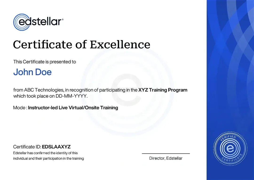
LiDAR Course Completion Certificate

Upon successful completion of the LiDAR training course offered by Edstellar, employees receive a course completion certificate, symbolizing their dedication to ongoing learning and professional development. This certificate validates the employees' acquired skills and serves as a powerful motivator, inspiring them to further enhance their expertise and contribute effectively to organizational success.

Target Audience for LiDAR Training Course

LiDAR training course is ideal for geospatial analysts, GIS analysts, surveyors, foresters, environmental scientists, civil engineers, and urban planners.

The LiDAR training program can also be taken by professionals at various levels in the organization.

LiDAR training for managers

LiDAR training for staff

LiDAR training for leaders

LiDAR training for executives

LiDAR training for workers

LiDAR training for businesses

LiDAR training for beginners

LiDAR group training

LiDAR training for teams

LiDAR short course

Prerequisites for LiDAR Training

The LiDAR training can be taken by professionals with a basic understanding of GIS or remote sensing.

Assess the Training Effectiveness

Bringing you the Best LiDAR Trainers in the Industry

The instructor-led LiDAR training is conducted by certified trainers with extensive expertise in the field. Participants will benefit from the instructor's vast knowledge, gaining valuable insights and practical skills essential for success in LiDAR Access practices.

No items found.

Request a Training Quote

This is some text inside of a div block.
Valid number
This is some text inside of a div block.
Thank you! Your submission has been received!
Oops! Something went wrong while submitting the form.

Training Delivery Modes for LiDAR Group Training

At Edstellar, we understand the importance of impactful and engaging training for employees. To ensure the training is more interactive, we offer Face-to-Face onsite/in-house or virtual/online LiDAR training for companies. This method has proven to be the most effective, outcome-oriented and well-rounded training experience to get the best training results for your teams.

Virtuval
Virtual

Instructor-led Training

Engaging and flexible online sessions delivered live, allowing professionals to connect, learn, and grow from anywhere in the world.

On-Site
On-Site

Instructor-led Training

Customized, face-to-face learning experiences held at your organization's location, tailored to meet your team's unique needs and objectives.

Off-Site
Off-site

Instructor-led Training

Interactive workshops and seminars conducted at external venues, offering immersive learning away from the workplace to foster team building and focus.

Other Related Corporate Training Courses

24 - 32 hrs
Instructor - led (Onsite or Virtual)
32 - 40 hrs
Instructor - led (Onsite or Virtual)